Die Vielgestaltigkeit der Staatenwelt / The Polymorphism of the World of States (II.)
Das Reich – ob nun das Habsburgerreich oder das Osmanische Reich – war ein zentraler Grundbegriff frühneuzeitlicher, weiterhin theologisch begründeter Vorstellung von universaler Herrschaft. Beide Imperien waren das Ergebnis territorialer Machtausdehnung, die mit Grenzveränderungen einherging.
Kartografen brachten diese Prozesse ins Bild. Regionen und Landschaften konnten – abseits der Zentralgewalt – eine gewisse politische und juristische Eigenständigkeit bewahren. Das geografische Wissen entfaltet mit dem Leitmedium „Karte“ eine eigene Dynamik. Räumlichkeit wird als Territorialität verstanden. Territoriale Inbesitznahme und symbolische Bezeichnung sind eng miteinander verbunden.
Für die Kennzeichnung von Herrschaft greifen Kartografen auf vereinfachte, bisweilen auch imaginierte Länderwappen oder andere Hoheitszeichen zurück, die symbolisch räumliche Differenz herstellen. Wappen unterscheiden Herrschaften voneinander und definieren territoriale Zugehörigkeit. Herrschaftsansprüche werden in den Kartuschen mit Feindbildern kombiniert.
Die vormoderne Staatenordnung impliziert deutliche Hierarchien, die in der geografischen Darstellung sichtbar werden. Der Kartograf und Globenhersteller Vincenzo Coronelli fasst diese Rangfolge programmatisch im Titel seines „Atlante Veneto“(1691/96) zusammen, in dem er als Spitze der politischen Ordnung die Imperien beschreibt, denen Königreiche, sonstige Formen der Territorialherrschaft und Provinzen nachgeordnet sind.
The empire —whether the Habsburg Empire or the Ottoman Empire— was a central foundational concept of the early modern, still theologically-based imagining of universal dominion. Both imperial realms were the result of the territorial expansion of power, which was attended by changes to borders. Cartographers made this process visible. Regions and landscapes could retain a measure of political and juridical autonomy, away from central power.
Geographical knowledge developed its own dynamism through the key medium of the map. Spatiality is understood as territoriality. Seizure of territory and symbolic appellation are closely bound up with one anther. For the designation of control, cartographers draw upon simplified, at times imaginary state coats of arms or other signs of sovereignty which create the symbolic spatial difference. Coats of arms distinguish rulers from one another and define territorial belonging. Claims to power are combined in the cartouches with images of the enemy.
The pre-modern state order implied clear hierarchies, which are made visible in geographical representation. The cartographer and globe manufacturer Vincenzo Coronelli summarises this order of precedence programmatically in the title of his “Atlante Veneto” (1691/96), in which he describes imperial realms as the pinnacle of the political order, with kingdoms, other forms of territorial rule, and provinces subordinated to them.
Donauraum und Südosteuropa
The Danube region and South-Eastern Europe
Justus I. Danckerts / Dancker Danckerts, [1688]
Kupferdruck / copper plate print
Privatsammlung Dr. Ovidiu Şandor, Temeswar (Kat. 2.1)
Dr. Ovidiu Şandor private collection, Timișoara (cat. 2.1)
Grenzburgen im Königreich Ungarn
Border fortresses in the Kingdom of Hungary
Martin Stier / Moritz Lang, 1664,
Kupferdruck / copper plate print
Staatsarchiv des Landes Baden-Württemberg, Generallandesarchiv Karlsruhe (Kat. 2.2)
State Archive oft he Land Baden-Wuerttemberg, Generallandesarchiv Karlsruhe (cat. 2.2)
Das Königreich Ungarn mit seinen Nebenländern
The Kingdom of Hungary and its neighbouring lands
Vincenzo Maria Coronelli / Jean Baptiste Nolin, 1688,
Kupferdruck / copper plate print
Staatsarchiv des Landes Baden-Württemberg, Generallandesarchiv Karlsruhe (Kat. 2.3)
State Archive of the Land Baden-Wuerttemberg, Generallandesarchiv Karlsruhe (cat. 2.3)
Pläne für neue Grenzen
Plans for new borders
[Giovanni Morando Visconti,1689/90]
Federzeichnung / ink drawing
Staatsarchiv des Landes Baden-Württemberg, Generallandesarchiv Karlsruhe (Kat. 2.4)
State Archive of the Land Baden-Wuerttemberg, Generallandesarchiv Karlsruhe (cat. 2.4)
Königreich Ungarn und seine Nachbarregionen
The Kingdom of Hungary and its neighbouring regions
Guillaume Delisle / Matthäus Seutter / Jeremias Wolff
nach 1703 / after 1703
Kupferdruck / copper plate print
Badische Landesbibliothek, Karlsruhe (Kat. 2.5)
Baden State Library, Karlsruhe (cat. 2.5)
Königreich Ungarn mit seinen Nachbarn
The Kingdom of Hungary with its neighbours
Nicolas Sanson / Guillaume Sanson / John Bowles
nach 1738 / after 1738
Kupferdruck / copper plate print
Privatsammlung Dr. Ovidiu Şandor, Temeswar (Kat. 2.6)
Dr. Ovidiu Şandor private collection, Timișoara (cat. 2.6)
Imperien und ihre Grenzen
Imperial realms and their borders
Nicolas de Fer / Herman van Loon / Jacques-François Benard, 1737
Kupferdruck / copper plate print
Privatsammlung Dr. Ovidiu Şandor, Temeswar (Kat. 2.7)
Dr. Ovidiu Şandor private collection, Timișoara (cat. 2.7)
Generalkarte des Königreichs Ungarn
General map of the Kingdom of Hungary
Johann Baptist Homann / Johann Christoph Müller
um 1720 / around 1720
Kupferdruck / copper plate print
Institut für donauschwäbische Geschichte und Landeskunde, Tübingen (Kat. 2.8)
Institute for Danube-Swabian History and Regional Studies, Tübingen (cat. 2.8)
Ungarn und die nördliche Europäische Türkei
Hungary and northern European Turkey
Philip Lea / Palmer Richard, [1686]
Kupferdruck / copper plate train
Privatsammlung Dr. Ovidiu Şandor, Temeswar (Kat. 2.9)
Dr. Ovidiu Şandor private collection, Timișoara (cat. 2.9)
Der orientalische Kriegsschauplatz
The Oriental theatre of war
François Joseph Maire / [Hieronymus Benedicti], 1788
Kupferdruck / copper plate print
Institut für donauschwäbische Geschichte und Landeskunde, Tübingen (Kat. 2.10)
Institute for Danube-Swabian History and Regional Studies, Tübingen (cat. 2.10)
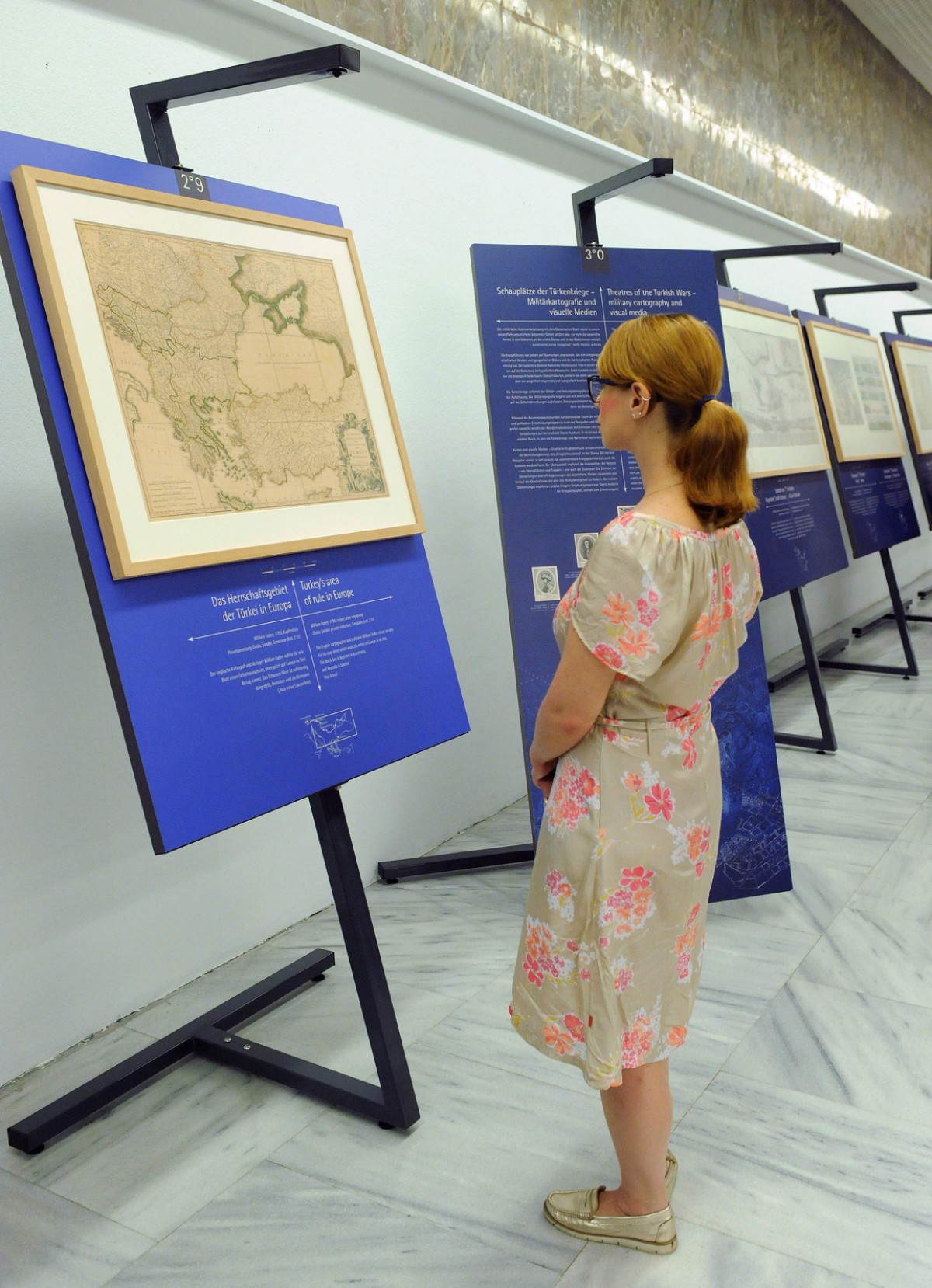
Das Herrschaftsgebiet der Türkei in Europa
Turkey’s area of rule in Europe
William Faden, 1795
Kupferdruck / copper plate print
Privatsammlung Dr. Ovidiu Şandor, Temeswar (Kat. 2.11)
Dr. Ovidiu Şandor private collection, Timișoara (cat. 2.11)
2019-04-01
Related Objects ...


